
♦ Three Highlights of Sobaeksan National Park trails
1. Ridge hiking
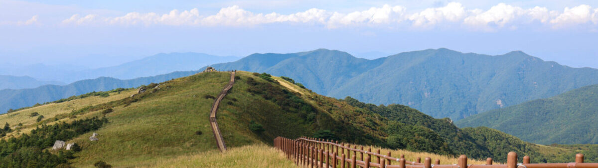
Sobaeksan trails have a unique landscape compared with other mountain type national parks. This mountain is made of dirt then it has very nice gentle slope at the top while others are relatively very rocky. Then it has its nickname, Korean Alps.
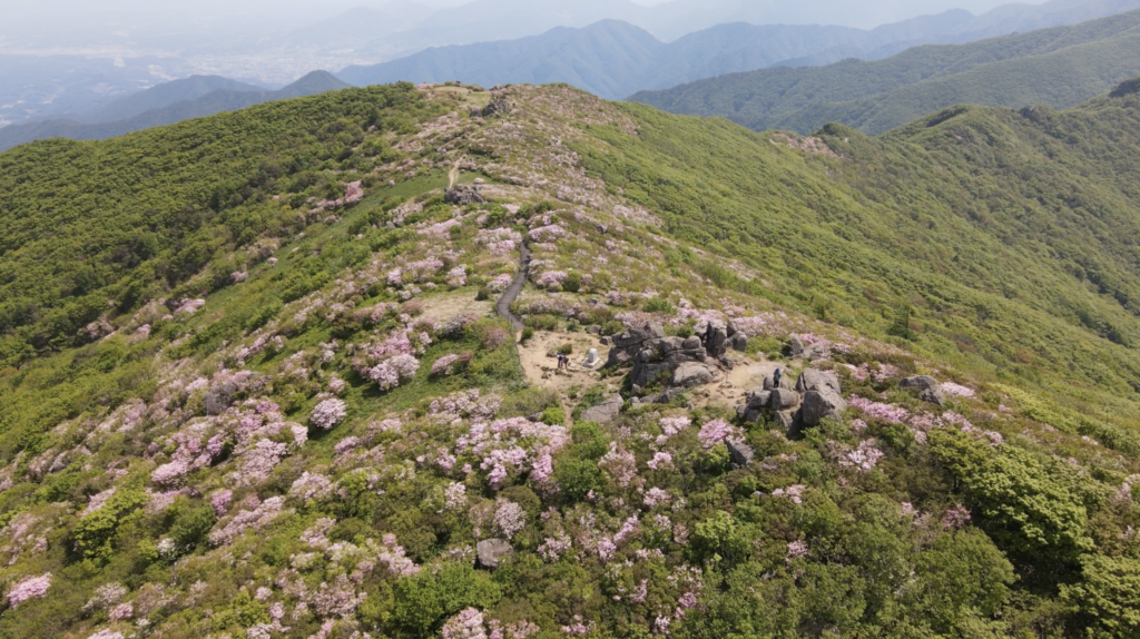
2. Royal Azalea Habitat
Between end of May and beginning of June, Royal Azaleas at the top of Sobaeksan are in full bloom. Around this time, there is Royal Azalea Festival in both regions, Yeongju and Danyang. The color of the flower is light pink, which is different from others. Walking along between those flowers is a unique experience.
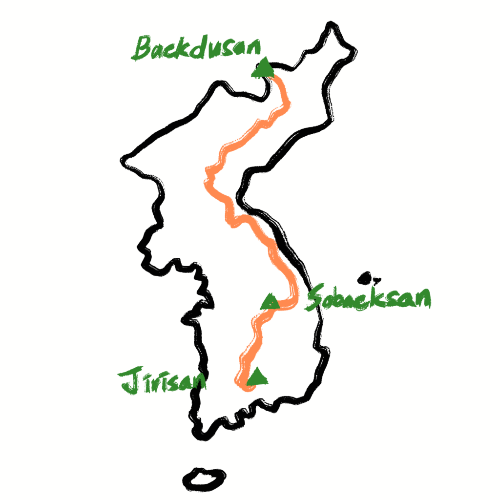
3. Baekdudaegan Range
If you are avid hikers, you would’ve heard the name of Baekdudaegan many times, the spine of Korean peninsula mountain range. It spans 1,400km from north Korea to South Korea. Among them, Sobaeksan has the longest part of 40km which make Sobaeksan the center of Baekdudaegan.
More information: Sobaeksan National Park (Gyeongsangbuk-do Region) (소백산국립공원(경북)) : VISITKOREA
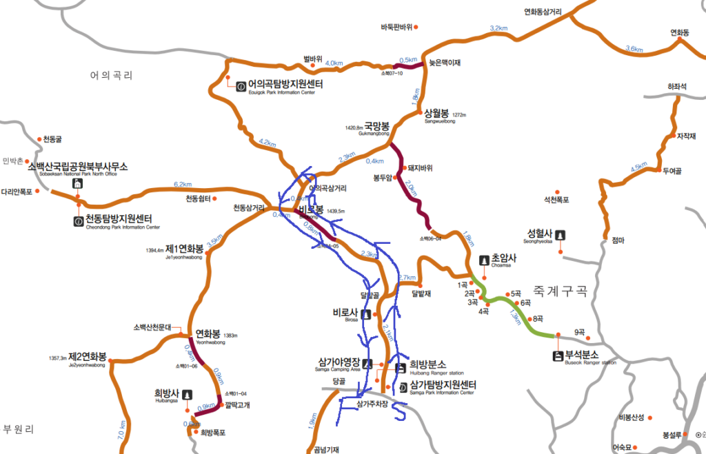
♦ Features of the trail (Samga~Birobong route)
- The shortest way up to the summit, Birobong
- There is a nice campground at the trailhead
- The most popular one among Sobaeksan trails in Yeongju side
♦ Trail Introduction
There are several trails which lead to the summit, today I am going to introduce the shortest way up to the summit, Birobong, of Sobaeksan National Park.
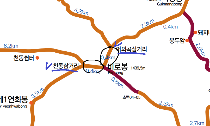
- Course Summary: Samga Parking Lot -> Dalbatgol Village -> Birobong -> Eouigok Three-way junction -> Return to the starting point
- Total Lenth: 11km
- Duration: around 5 hours
If you come by bus, you have to start a few hundred meters down.
If you walk up along the road, you will see the parking lot.
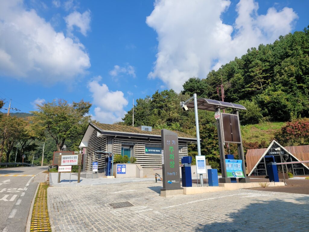
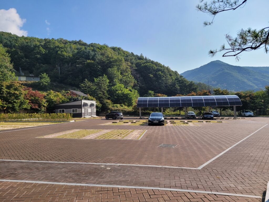
After the parking lot, you can keep going up along the road.
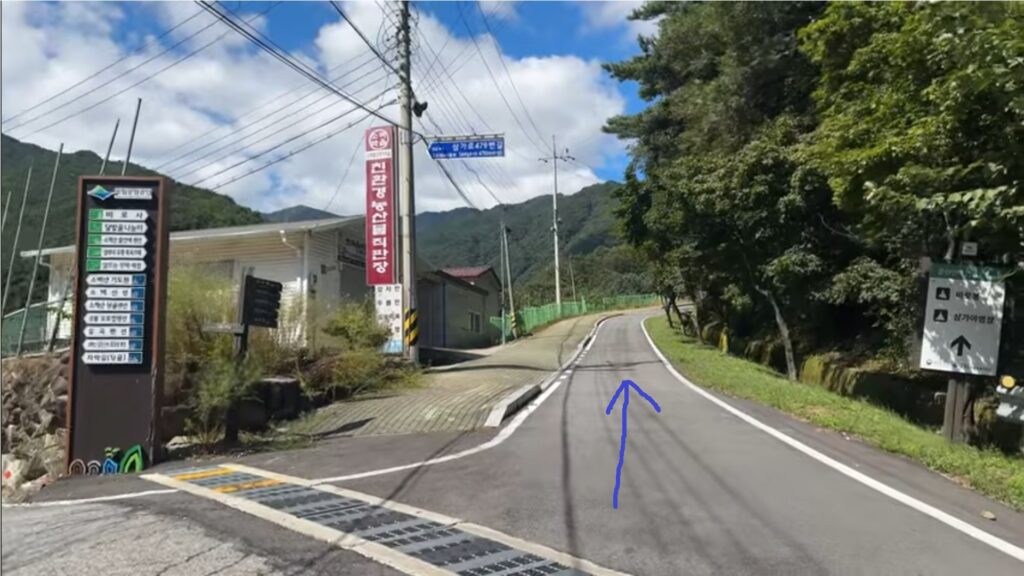
If you come up about 100m, you will see Samga Campground with a visitor center.
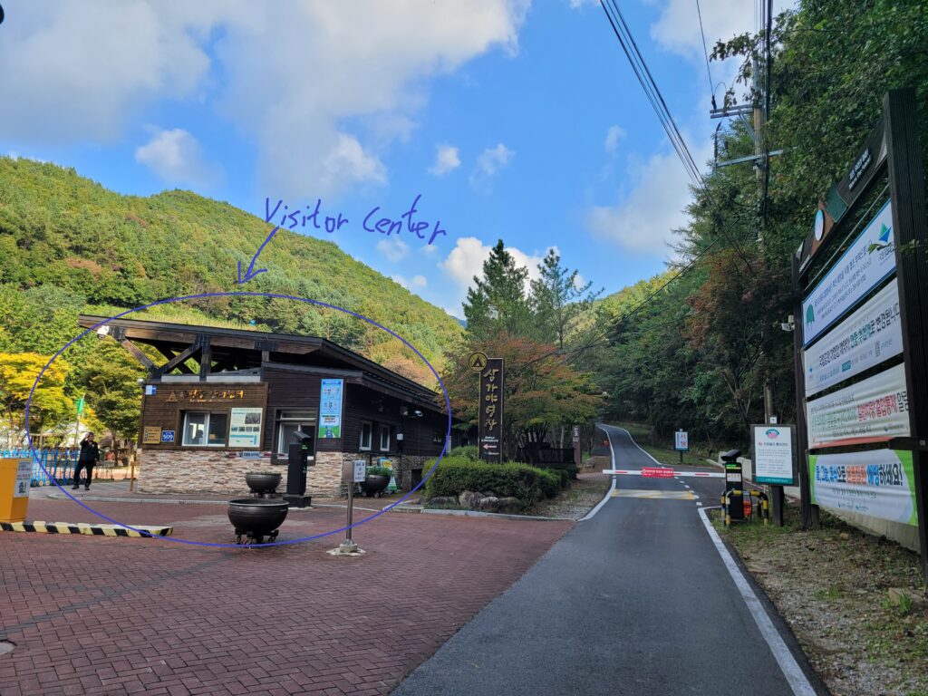
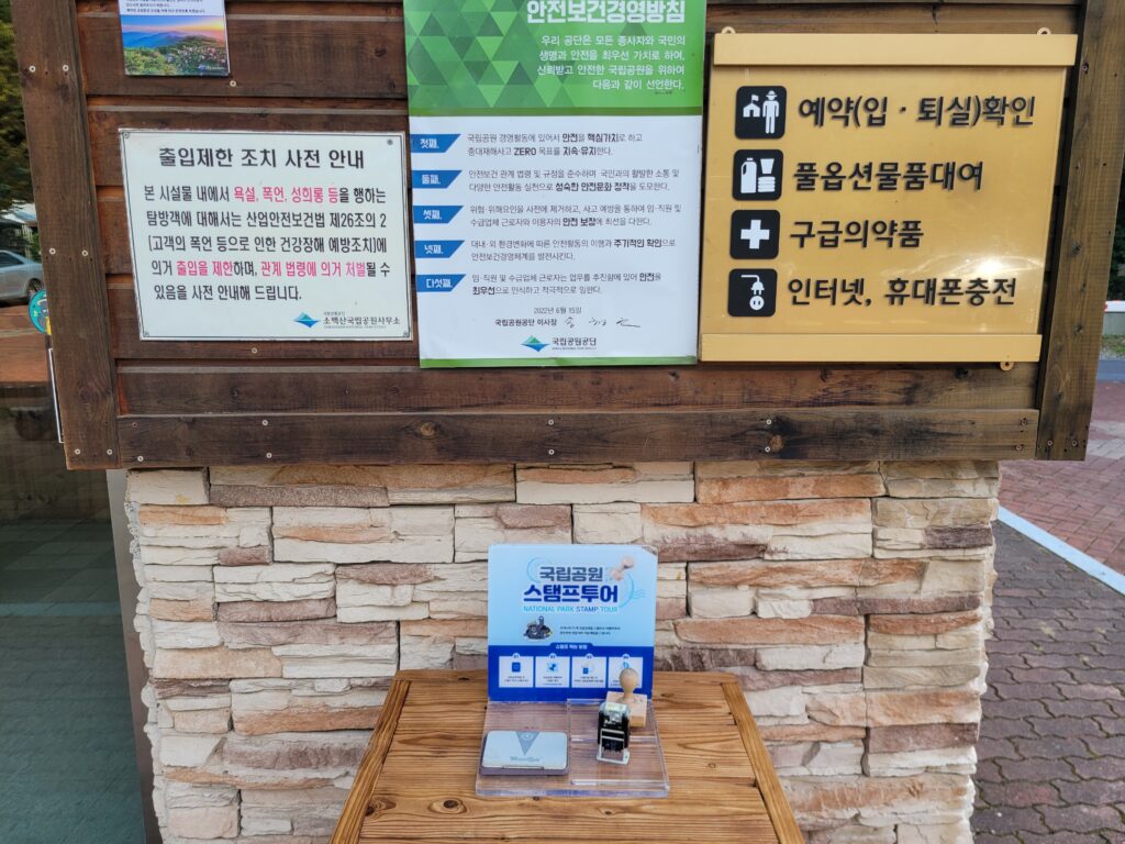
These days, national park passport stamp tour and KNPS goods are quite popular. Then, at this visitor center, you can purchase KNPS goods and get a stamp for your passport.

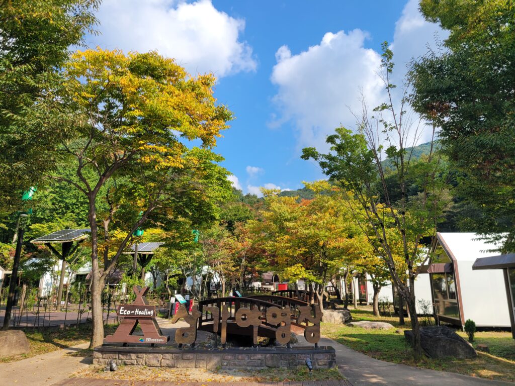
After you are done with it or not interested in those, you can keep going up along a nice stream. After passing Dalbatgol village, there is no stream or water. Then enjoy the sound of water flowing and walking along the stream.
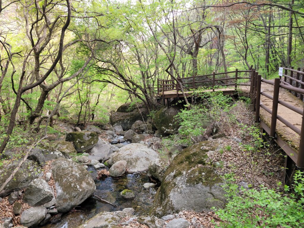
You will soon see the last restroom.
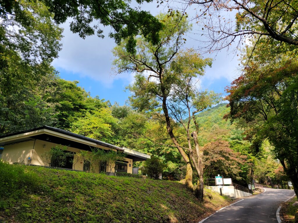
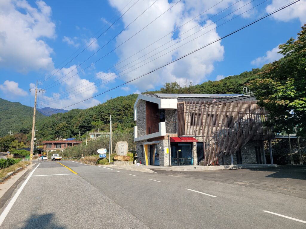
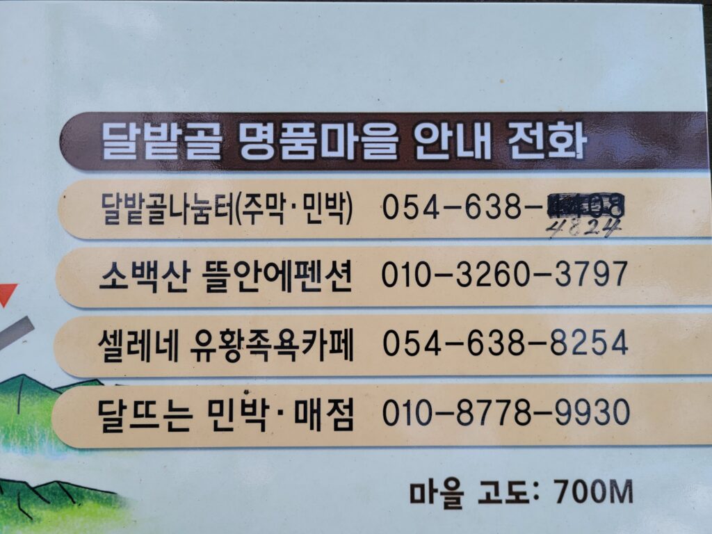
Then, finally you will see Dalbatgol village. Here is a tip. If you make a booking for any shop up here like restaurants or coffee shops, you can drive up here which can make your hike shortest way up. Here is the list of shops and contact in this village.
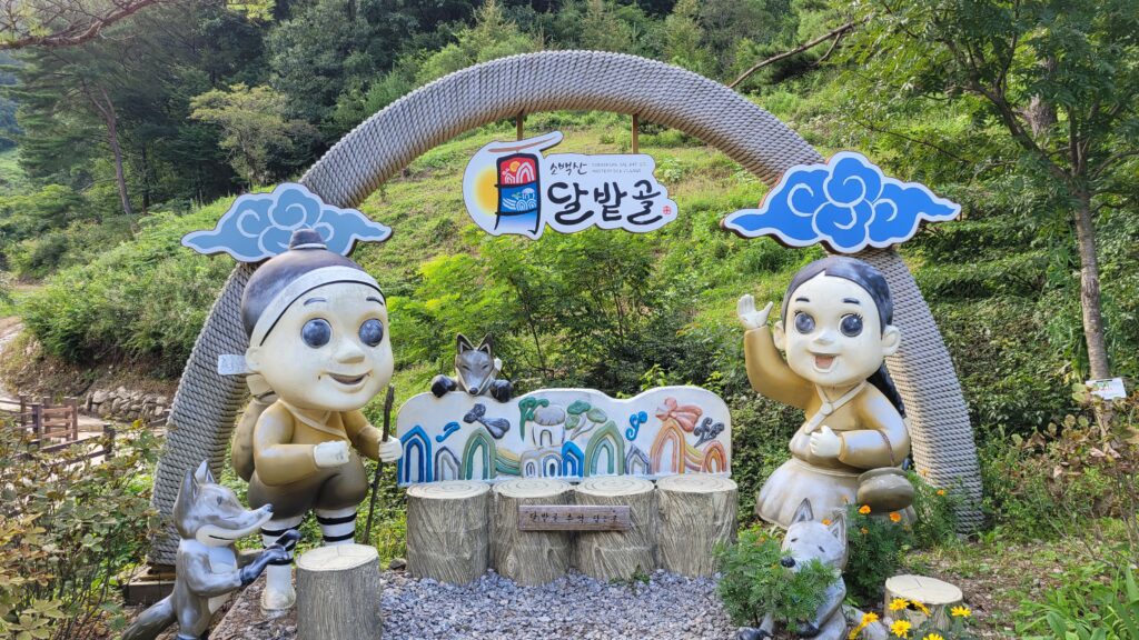 Landmark of Dalbatgol village
when you come back down, it would be a great idea to stop by this local restaurant to try Korean pan-cake and drink(Makgeolli).

Keep going up and then shortly you will see the gate of the trail.
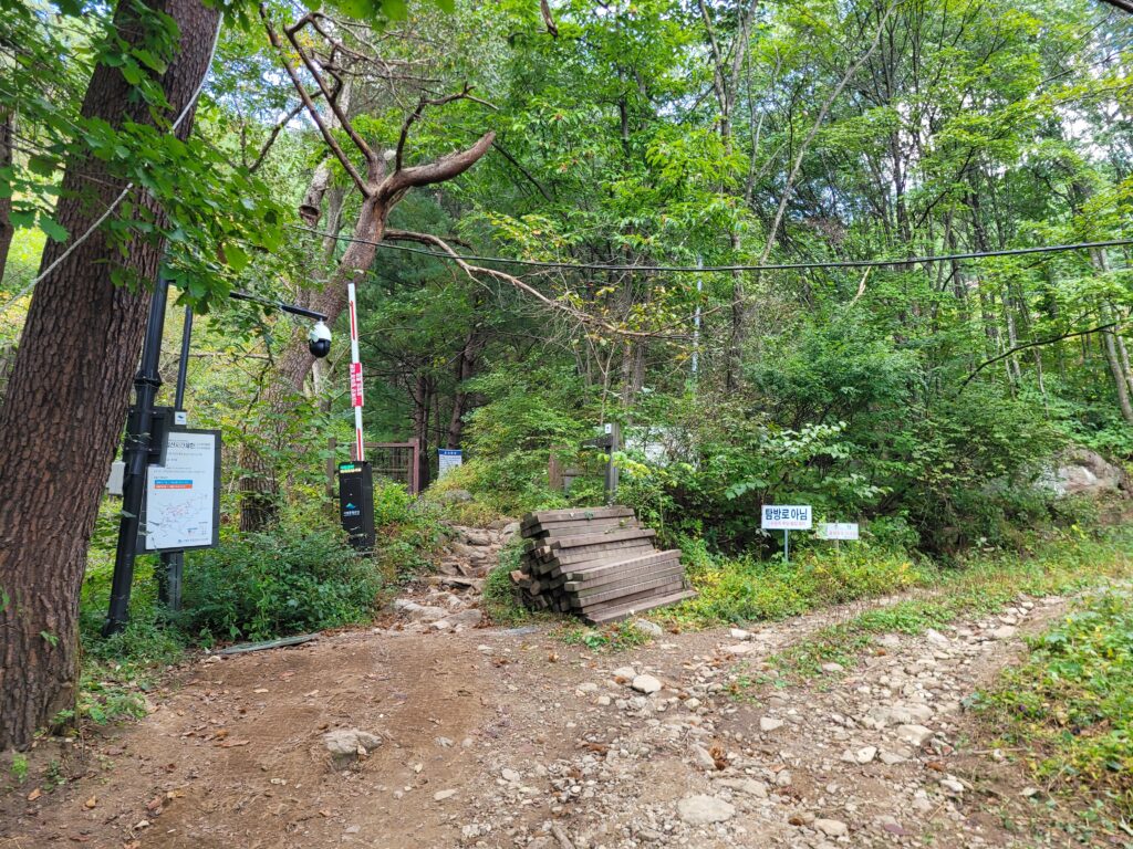
After passing the gate, there is only one way up then there is only little chance that you would lose your way. Please feel safe but get ready because this trail is fairly steep due to the shortest way up to the summit.
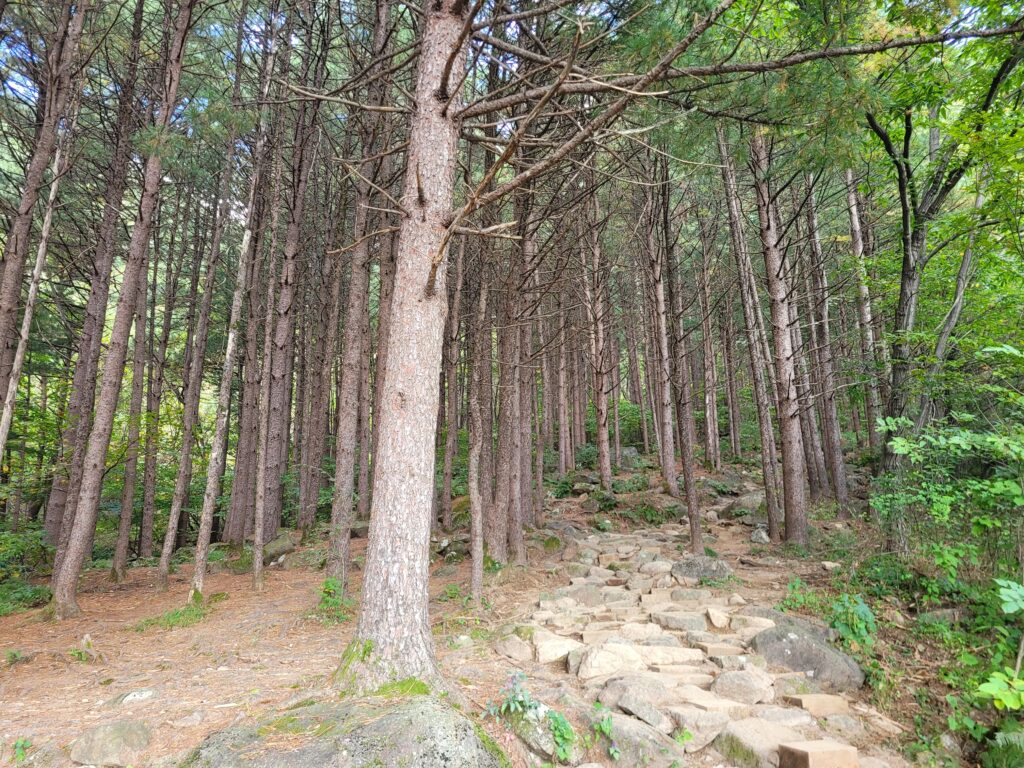
After a few minutes, you encounter a nice fir forest, which is one of my favorite section of the trail.
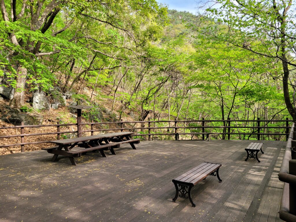
After a dozen of minitues, you will see a rest area. It would be better to take a break here because there is no more proper rest area for the next one hour.

From now on, there is not much special things, only a path until just below the summit.
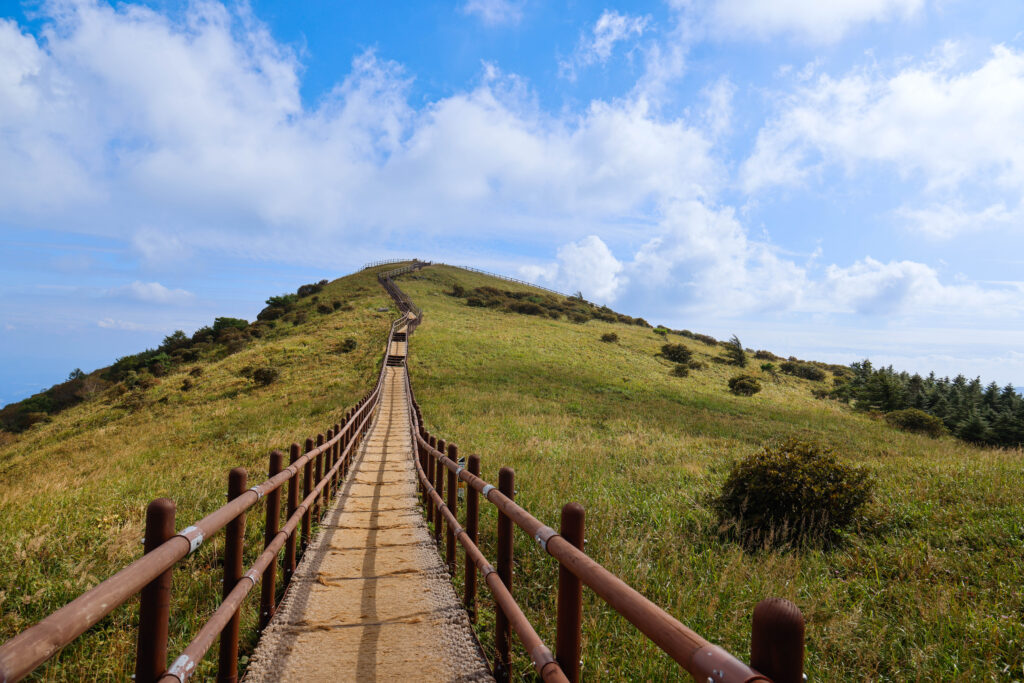
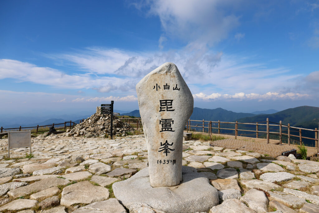
After another one and half or two hours, you are likely to reach the summit, Birobong. Just a few minutes before the summit, the sky starts to show up. The exclamation comes out of its own accord.
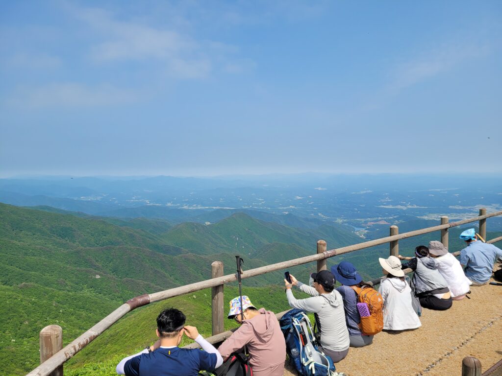
Now finally it’s time to enjoy the 360° panoramic view.
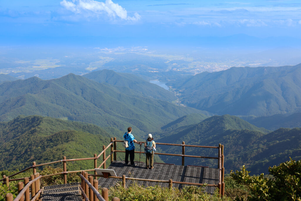
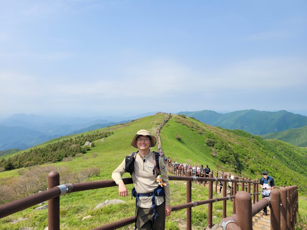
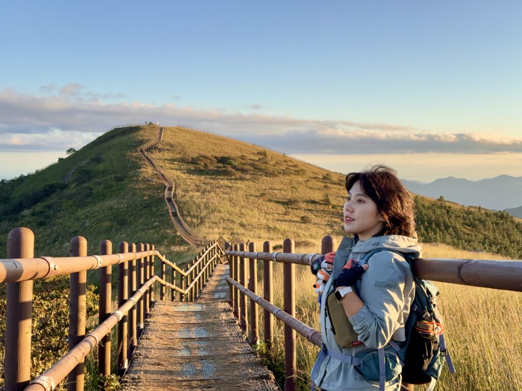
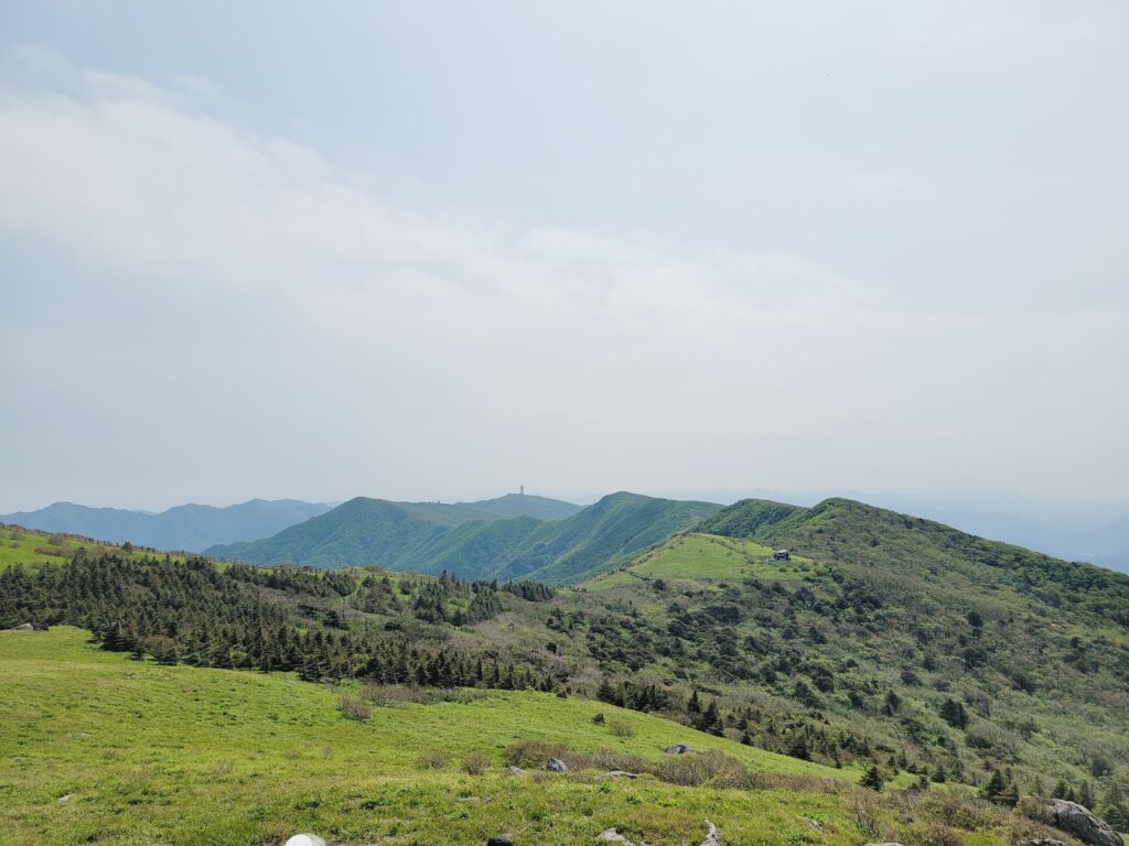
Here is a ranger’s tip. Most people finish their hike as soon as they reach the summit. But I strongly recommend you to go to either Oeigok samgeori or Cheondong samgeori since those section as below is the main highlight of the park.
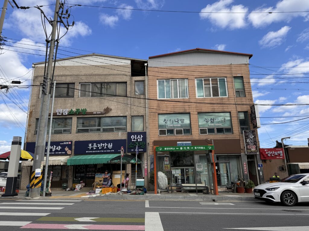
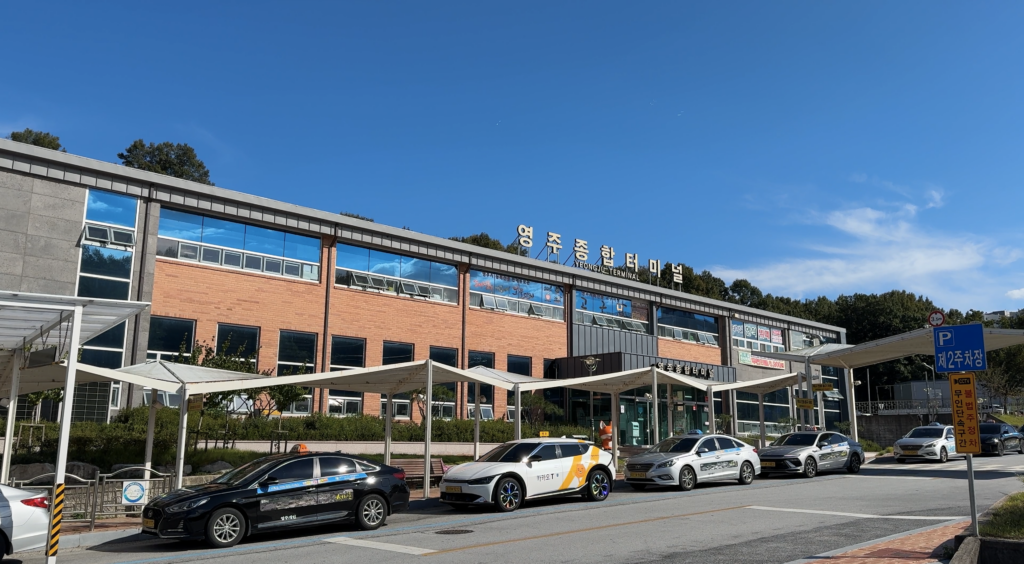
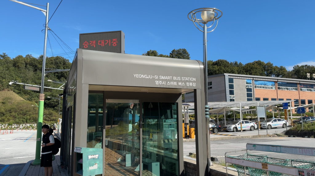
♦ How to get here? (Transportation)
⇒ By Car (Parking lot address)
Address: 경북 영주시 풍기읍 삼가로 509

If you grab a taxi at Punggi station or Punggi bus terminal, it would cost about 10,000won or 15,000won respectively. But if you like, you can go up all the way to Dalbatgol village with extra 2,000~3,000won which would be a great option.
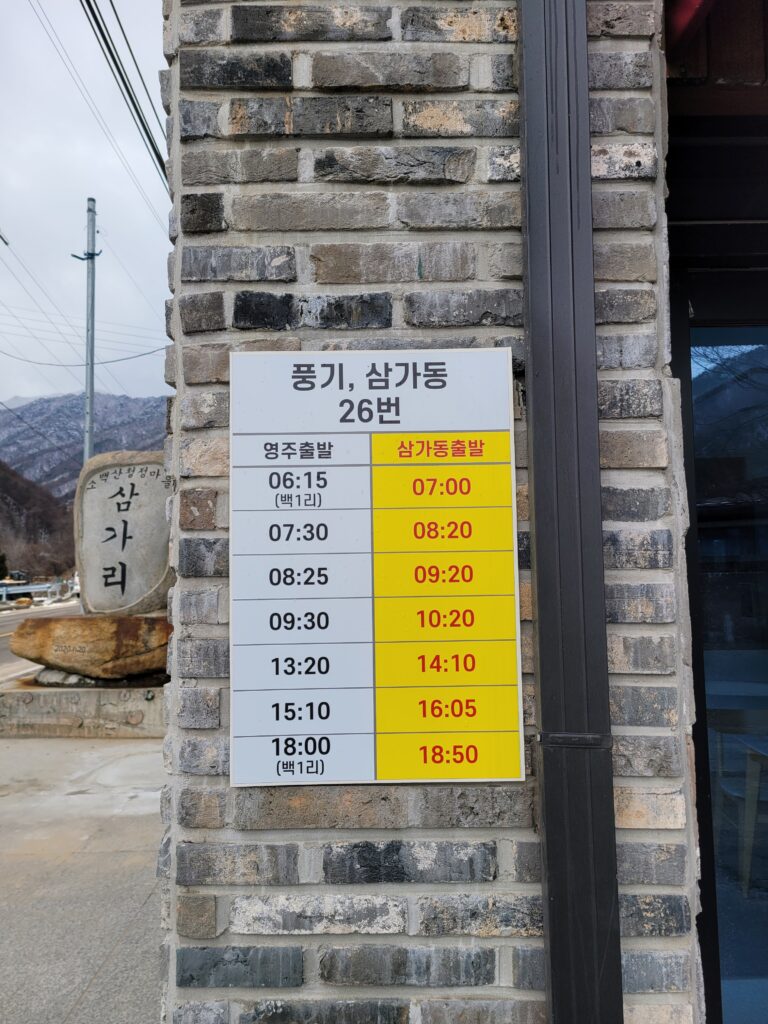
- By public transportation
Route: Youngju bus terminal ⇔ Punggi station ⇔ Samgadong bus stop
Bus number: 26
Frequency: Total 7 buses per day for each way
Journey: around 50 minutes
Ok. This is all for Samga~Birobong trail. Hope that this helps you find your way to get to this trail.
If you want to watch a video clip about this trail, please check out the link as below.
End.
Written by Hong.
Others
Gayasan National Park: Manmulsang Trail